CHX·Live
⌘K
UTC—/— —:—:—
图库 · 题材

对地观测影像

「对地观测影像」题材下的公开图片,共 385 张,每张附署名与原始出处。
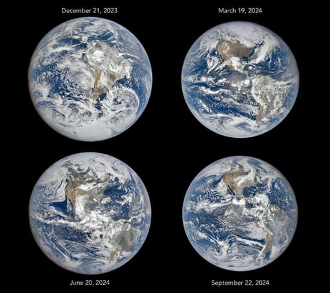
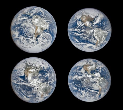
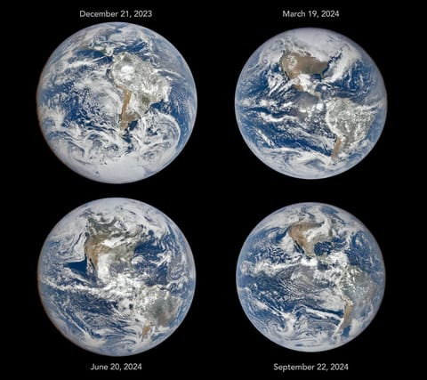
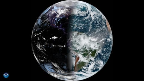
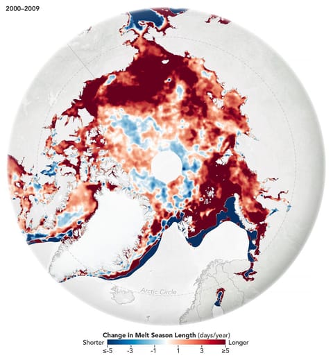
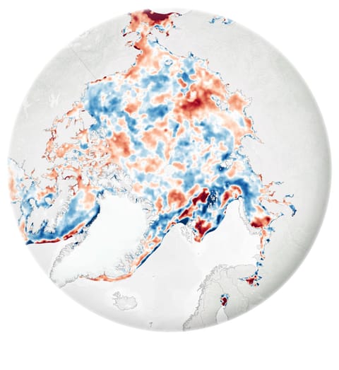
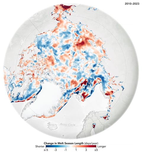
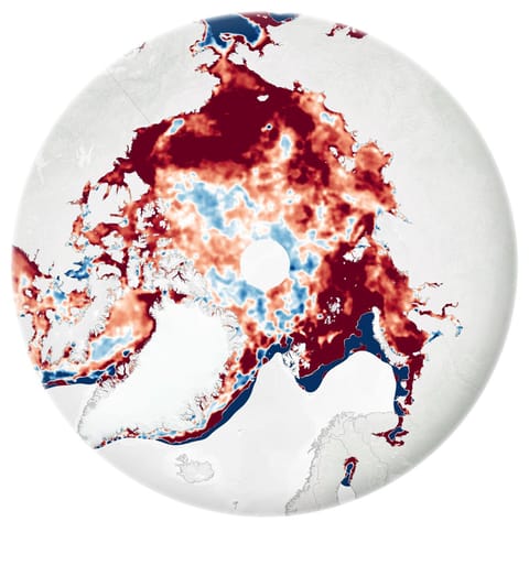
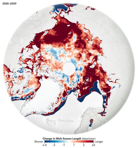
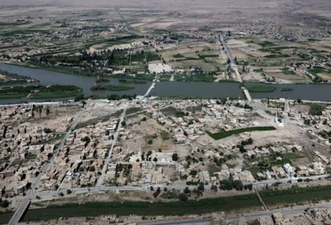
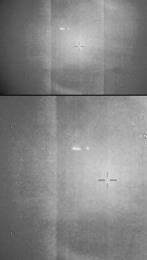
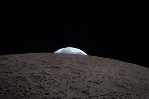
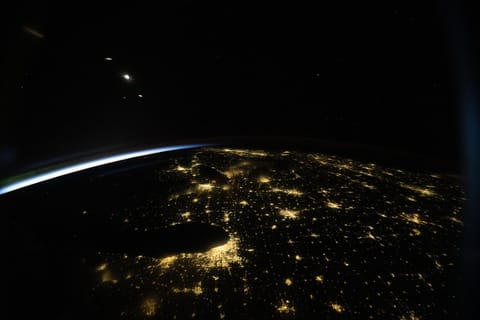
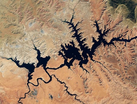
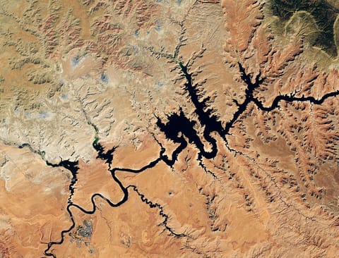
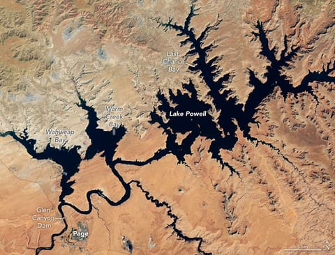
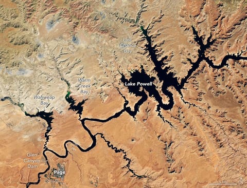
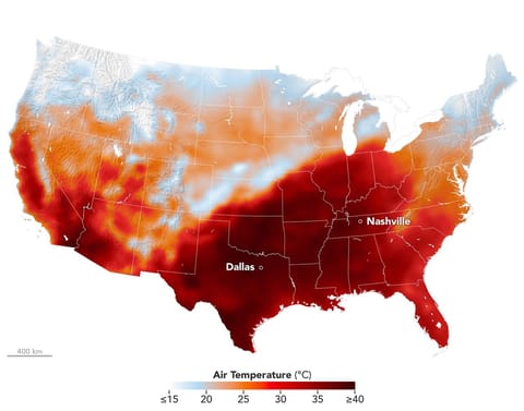
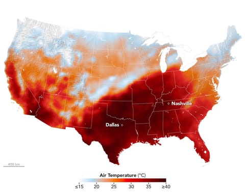
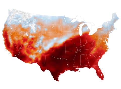
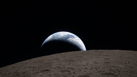
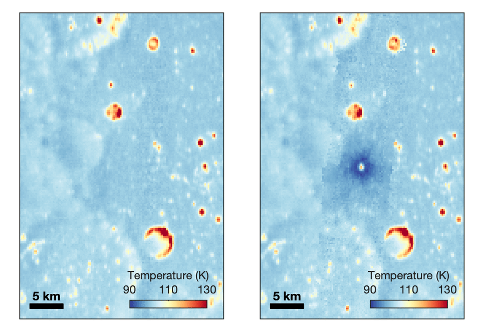
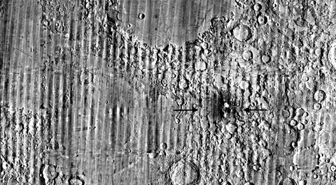
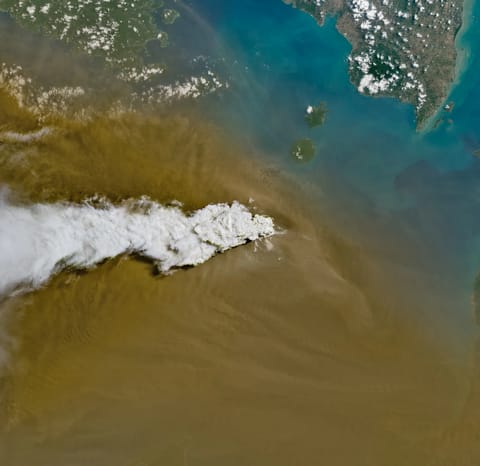
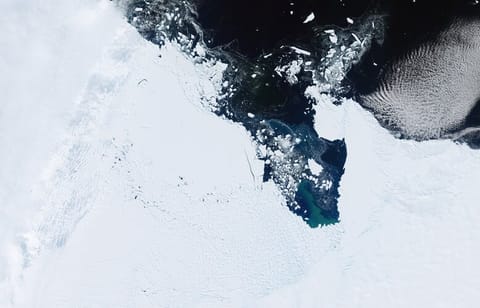
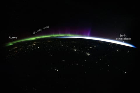
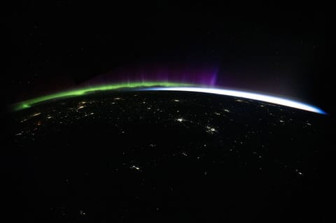
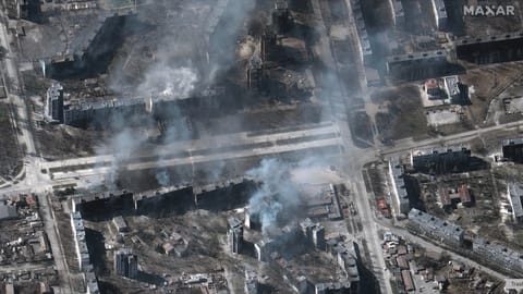
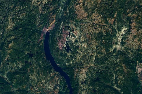
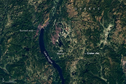
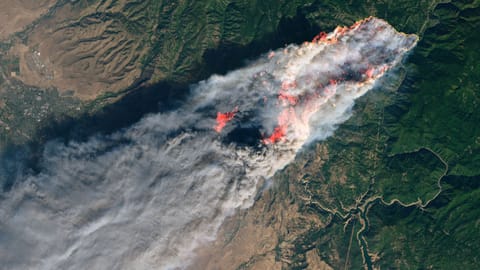
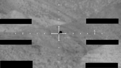
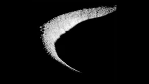
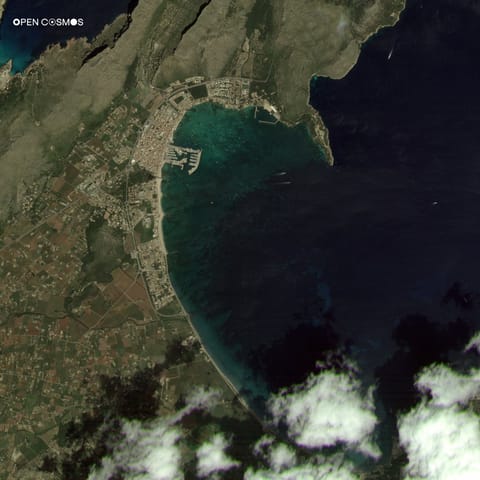
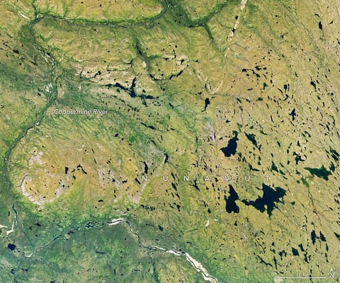
对地观测影像图:NASAFour full-disk images of Earth are arranged in a two-by-two grid. The December image on the upper left shows the South America centered with Antarctica visible. The June image features parts of North America and Arctic sea ice that were not visible in December. The March and September images have South America and North America in more intermediate positions.图:NASAFour full-disk images of Earth are arranged in a two-by-two grid. The December image on the upper left shows the South America centered with Antarctica visible. The June image features parts of North America and Arctic sea ice that were not visible in December. The March and September images have South America and North America in more intermediate positions.图:NASAA full disk view of the earth from GOES 16, GOES East on the vernal Equinox.图:NASA对地观测影像图:NASA对地观测影像图:payloadspace.comTwo Arctic maps compare changes in melt season length by decade. Red indicates areas where the season grew longer; blue, where it grew shorter. The 2000–2009 map is mostly dark red. The 2010–2023 map shows a mix of lighter red and blue, indicating smaller changes.图:NASATwo Arctic maps compare changes in melt season length by decade. Red indicates areas where the season grew longer; blue, where it grew shorter. The 2000–2009 map is mostly dark red. The 2010–2023 map shows a mix of lighter red and blue, indicating smaller changes.图:NASATwo Arctic maps compare changes in melt season length by decade. Red indicates areas where the season grew longer; blue, where it grew shorter. The 2000–2009 map is mostly dark red. The 2010–2023 map shows a mix of lighter red and blue, indicating smaller changes.图:NASATwo Arctic maps compare changes in melt season length by decade. Red indicates areas where the season grew longer; blue, where it grew shorter. The 2000–2009 map is mostly dark red. The 2010–2023 map shows a mix of lighter red and blue, indicating smaller changes.图:NASAExplosion reported at Syrian army site west of Deir ez-Zor图:azertag.azPentagon UFO Footage.JPG图:media.cnn.comNASA Artemis II Earthset Earth Moon图:scitechdaily.comChicago, Illinois (bottom center), appears prominently in this nighttime view of the United States—dotted with city lights including Detroit, Michigan; Cincinnati, Ohio; and New York City--taken at approximately 3:38 a.m. local time from the International Space Station as it orbited 259 miles above Earth.图:NASA对地观测影像图:ESA对地观测影像图:ESA对地观测影像图:ESADark blue water in Lake Powell fills several bays and branching canyons amid a light orange desert landscape. The Glen Canyon Dam and the town of Page, Arizona, are visible in the lower left.图:NASAWater in Lake Powell is at record-low levels and looks like a wide river winding through a light orange desert landscape. The Glen Canyon Dam and the town of Page, Arizona, are visible in the lower left.图:NASADark blue water in Lake Powell fills several bays and branching canyons amid a light orange desert landscape. The Glen Canyon Dam and the town of Page, Arizona, are visible in the lower left.图:NASAWater in Lake Powell is at record-low levels and looks like a wide river winding through a light orange desert landscape. The Glen Canyon Dam and the town of Page, Arizona, are visible in the lower left.图:NASAGlobs of pinkish ice form amid shards of aquamarine and royal blue.图:NASA对地观测影像图:SpaceNews对地观测影像图:payloadspace.com对地观测影像图:NASAAir temperatures in the United States are depicted in white to light blue (cooler) and orange to red (warmer). An area of red, indicating temperatures around 100 degrees Fahrenheit, covers Texas and several states to the east and northeast.图:NASAAir temperatures in the United States are depicted in white to light blue (cooler) and orange to red (warmer). An area of red, indicating temperatures around 100 degrees Fahrenheit, covers Texas and several states to the east and northeast.图:NASAspacecraft photo showing a crescent earth setting above the curved, gray, crater-pocked surface of the moon图:Space.comAnimated temperature map that alternates between two images. A vertical strip through the center blinks on and off, revealing a dark blue circular area surrounding a small white spot near the middle. The pale blue map also contains scattered yellow, orange, and red spots and rings, including a large, curved red-and-yellow feature near the lower center. A 5-kilometer scale bar appears at lower left, and a color key ranges from 90 kelvin in dark blue to 130 kelvin in dark red.图:NASA对地观测影像图:NASAA white volcanic plume streams left over a tan ash cloud that fills most of the image. A small green island and blue water are visible in the upper right.图:NASA对地观测影像图:ESA对地观测影像图:satelliteprome.comGreen and purple aurora and white airglow arc above Earth’s limb and the scattered city lights of Central Asia in a nighttime photo taken from the International Space Station.图:NASAGreen and purple aurora and white airglow arc above Earth’s limb and the scattered city lights of Central Asia in a nighttime photo taken from the International Space Station.图:NASAsatellite photo of smoke rising from buildings in a neighborhood that has been destroyed by bombing图:Space.com对地观测影像图:NASA对地观测影像图:Ars Technica对地观测影像图:altxw.com对地观测影像图:SpaceNewsThough subtle, a circular indentation with Lake Marsal near the center is visible in the middle of a mostly green landscape with textured terrain and many lakes.图:NASAThough subtle, a circular indentation with Lake Marsal near the center is visible in the middle of a mostly green landscape with textured terrain and many lakes.图:NASA对地观测影像图:NASAA view of a wildfire with smoke from a satellite's point of view.图:Space.coma dark blob seen against a mountainous desert landscape in a monochromatic, grainy photograph图:Space.coma crescent-shaped rim of a lunar crater图:Space.com对地观测影像图:payloadspace.com对地观测影像图:NASA