CHX·Live
⌘K
UTC—/— —:—:—
图库 · 题材

对地观测影像

「对地观测影像」题材下的公开图片,共 385 张,每张附署名与原始出处。
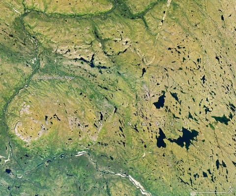
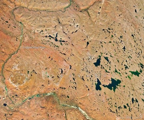
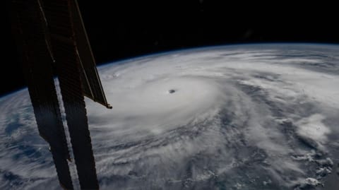
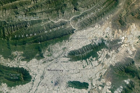
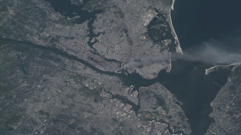
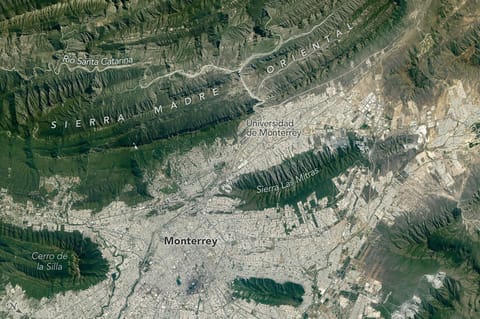
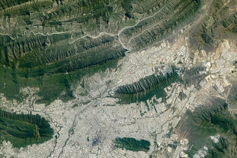
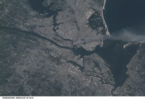
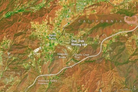
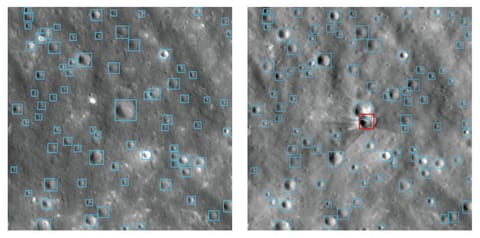
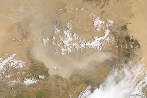
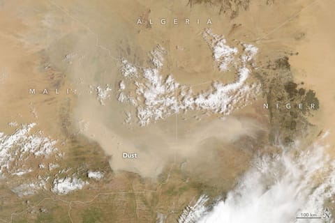
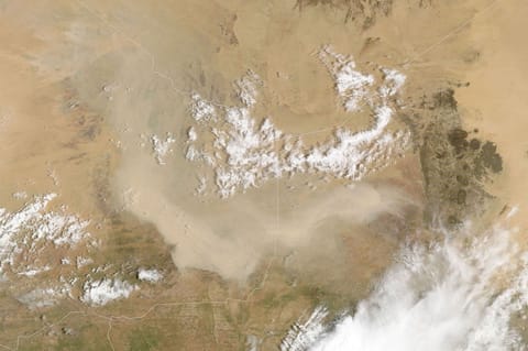
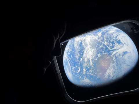
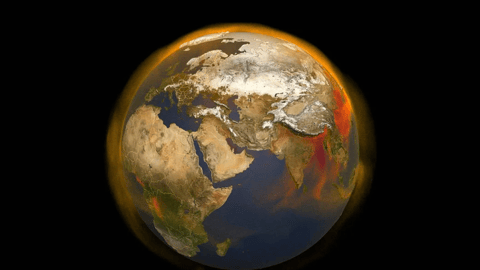
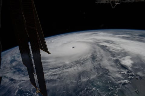
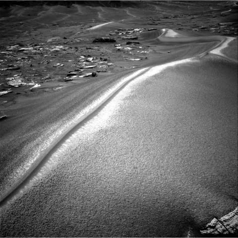
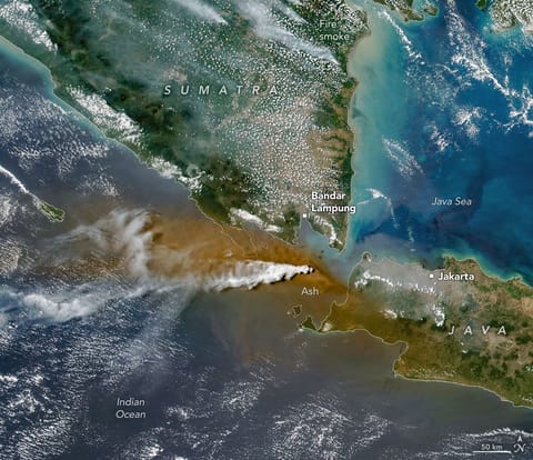
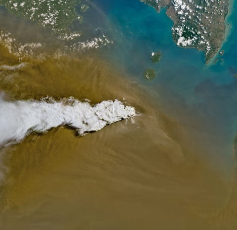
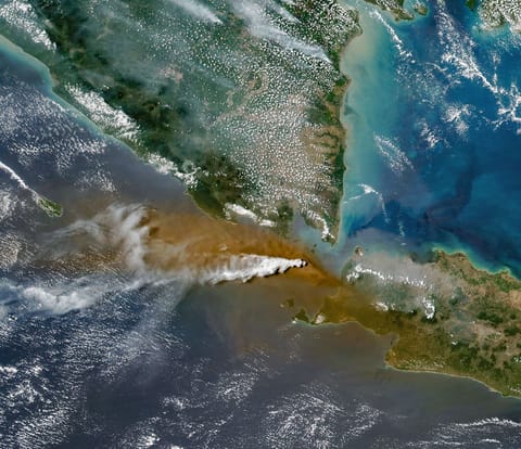
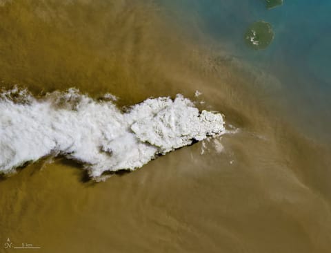
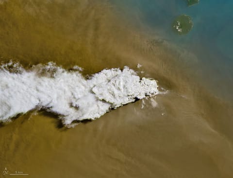
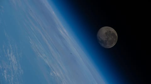
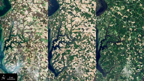
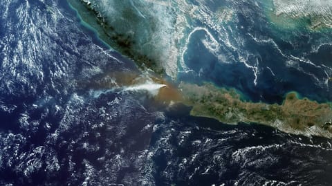
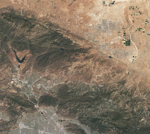
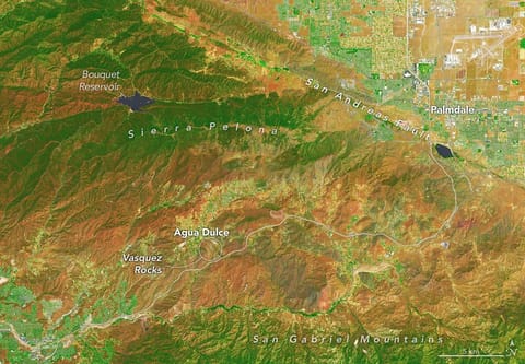
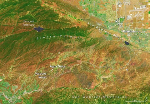
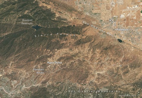
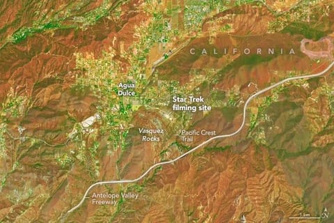
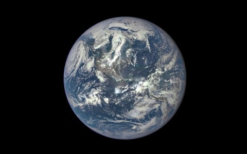
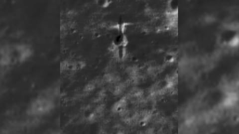
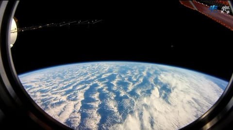
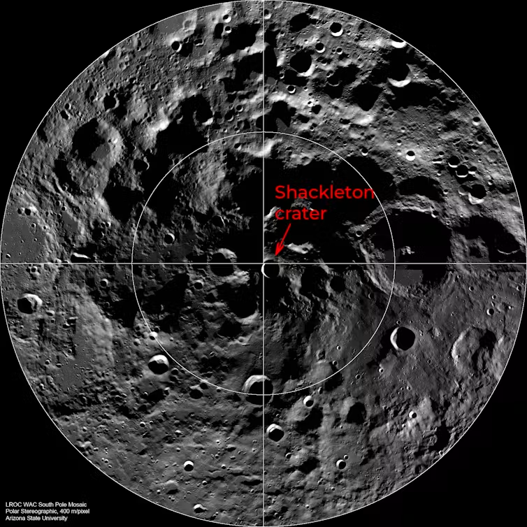
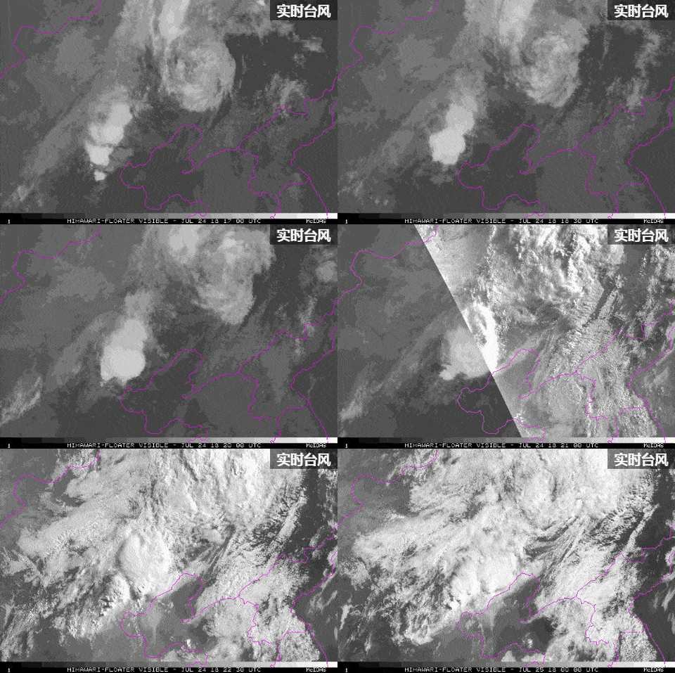
A river winds through a mostly green tundra landscape in summer, dotted with numerous lakes.图:NASAA river winds through the same tundra landscape in autumn, now colored red and orange. Some green vegetation remains visible along the river.图:NASA对地观测影像图:noticiasambientales.com对地观测影像图:NASA对地观测影像图:NASA对地观测影像图:NASAsatellite photo of a large city on a bay, with a river running through it and smoke rising from the center of the city图:Space.comThe light-colored urban development of Monterrey, Mexico, fills most of the top half of the photo, and green parallel mountain ridges arc across the bottom of the frame.图:NASAThe light-colored urban development of Monterrey, Mexico, fills most of the top half of the photo, and green parallel mountain ridges arc across the bottom of the frame.图:NASA对地观测影像图:NASACaptain Kirk and the Gorn face off in the corner of the screen pointing to the filming location on a satellite image below.图:Space.comA satellite view of Vasquez Rocks. A label shows where the Star Trek filming site is located.图:Space.com对地观测影像图:NASASide-by-side lunar surface images showing automated crater detection before and after a rocket impact. Numerous craters across the gray, terrain are enclosed in light blue bounding boxes. In the right image, a newly formed dark crater surrounded by bright ejecta is highlighted with a prominent red square bounding box.图:NASA对地观测影像图:NASAA light brown dust plume, dense at its center and more diffuse toward its edges, extends horizontally across an orange-brown and green landscape. Scattered white clouds cover some of the scene.图:NASAA light brown dust plume, dense at its center and more diffuse toward its edges, extends horizontally across an orange-brown and green landscape. Scattered white clouds cover some of the scene.图:NASA对地观测影像图:新浪NASA astronaut and Artemis II Commander Reid Wiseman peers out of one of the Orion spacecraft's main cabin windows, looking back at Earth, as the crew travels towards the Moon on April 4, 2026. NASA's Artemis II mission will take Wiseman, Glover, Koch, and Hansen on a 10-day journey around the Moon and back aboard their Orion spacecraft.图:img.ksl.comA visual showing Earth heating up.图:Space.comCategory 5 Hurricane Melissa, one of the most powerful storms to strike the Caribbean in recent history, is pictured about 50 miles south of Jamaica in this photograph from the International Space Station as it orbited 262 miles above the Yucatan Peninsula.图:NASAa plume of white-grey smoke rises from a small island, as seen from high overhead图:Space.comA black-and-white photograph from the Mars Curiosity rover showing a large, sweeping sand dune with a sharp, brightly sunlit crest. To the left are scattered flat rocks, and more rolling dunes stretch into the distant background.图:NASA对地观测影像图:chinanews.com.cnA white plume streams to the left over a larger tan ash cloud, both coming from a volcanic eruption between the Indonesian islands of Java and Sumatra.图:NASAA white volcanic plume streams left over a tan ash cloud that fills most of the image. A small green island and blue water are visible in the upper right.图:NASAA white plume streams to the left over a larger tan ash cloud, both coming from a volcanic eruption between the Indonesian islands of Java and Sumatra.图:NASAA white volcanic plume streams left over a tan ash cloud that fills most of the image. A small green island and blue water are visible in the upper right.图:NASA对地观测影像图:NASAThe waning gibbous Moon appears above Earth’s blue atmosphere in this image taken from the International Space Station while orbiting 258 miles above the coast of Hong Kong, China.图:NASAGraphic featuring three satellite images of cover crops in various seasons in Maryland. The left image has crop fields of various shades of light brown and tan, the middle image has tan and light green fields, and the image on the right is mostly fields of green with some fields of tan. A blue river cuts through the top left part of each image.图:NASA对地观测影像图:payloadspace.com对地观测影像图:ESAThis natural-color image shows the same area, but there is less difference in colors between higher-elevation and lower-elevation vegetation. Most features in the image are shades of brown.图:NASA对地观测影像图:NASAIn this false-color image, areas with more extensive vegetation on the Sierra Pelona retain more moisture than the hills surrounding Agua Dulce, making the Sierra Pelona appear dark green in comparison to the rusty brown coloration of the lower hills. Vasquez Rocks appears as a patch of curved gray stripes near the center of the image.图:NASAThis natural-color image shows the same area, but there is less difference in colors between higher-elevation and lower-elevation vegetation. Most features in the image are shades of brown.图:NASAA zoomed-in view of the Vasquez Rocks part of the image highlights a sandy parking lot where Star Trek scenes were filmed, the Antelope Valley Freeway, and the nearby community of Agua Dulce.图:NASAThe Orion spacecraft reached Earth’s atmosphere 400,000 feet above the planet’s surface, traveling 35 times the speed of sound and about 1,956 statute miles from the splashdown site. This is where the spacecraft first encounters the upper atmosphere and begins its guided descent. Shortly after, Orion is in a planned communications blackout expected to last about six minutes as plasma built around the crew capsule during heating.图:NASAlong-distance view of earth in deep space图:Space.com015A6068.NEF图:NASA对地观测影像图:media-cldnry.s-nbcnews.comIce in a broad Alpine basin feeds debris-covered glacial ice several kilometers long in the valley below.图:NASAThe moon grave site of ESA's SMART-1 moon orbiter after its crash as seen by LRO图:Space.com对地观测影像图:cdn.bsky.app对地观测影像图:新华网A circle view of a grey pockmarked surface showing the Shackleton crater next to the centre.图:images.theconversation.com对地观测影像图:新华网