返回上一页

Graphic featuring three satellite images of cover crops in various seasons in Maryland. The left image has crop fields of various shades of light brown and tan, the middle image has tan and light green fields, and the image on the right is mostly fields of green with some fields of tan. A blue river cuts through the top left part of each image.

Graphic featuring three satellite images of cover crops in various seasons in Maryland. The left image has crop fields of various shades of light brown and tan, the middle image has tan and light green fields, and the image on the right is mostly fields of green with some fields of tan. A blue river cuts through the top left part of each image.
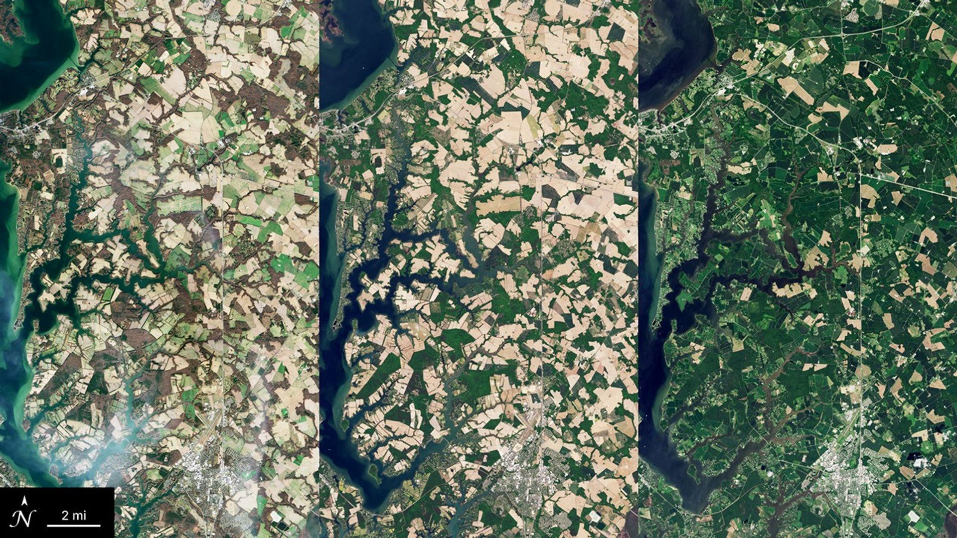
Graphic featuring three satellite images of cover crops in various seasons in Maryland. The left image has crop fields of various shades of light brown and tan, the middle image has tan and light green fields, and the image on the right is mostly fields of green with some fields of tan. A blue river cuts through the top left part of each image. 图:NASA
尺寸
1920 × 1080

本栏目图片来自公开数据源(Launch Library 2、NASA / ESA 等机构官网)及网络公开渠道,版权归原作者或发布机构所有;本站依据各图标注的许可证署名展示,不主张任何权利,仅供学习与参考。如认为本站展示侵犯了您的权益,请来信 hello@chxlive.com,我们会尽快核实并删除。