任务成功
载荷已部署入轨。
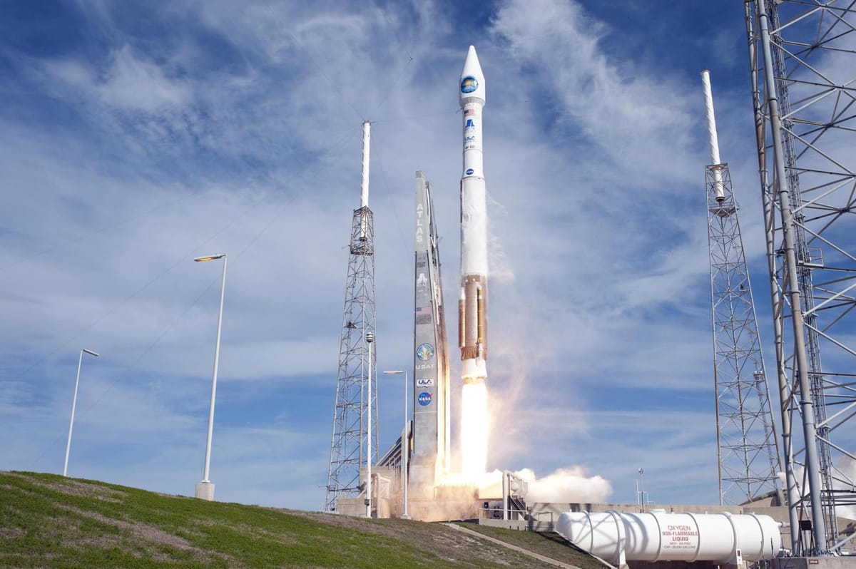
Landsat 8 (DCM)
联合发射联盟 (ULA) · 宇宙神 V 401 · 3E 号发射工位 (SLC-3E)
任务简介
Landsat 8 是一颗美国地球观测卫星,于2013年2月11日发射。它是 Landsat 计划中的第八颗卫星,也是第七颗成功进入轨道的卫星。最初名为 Landsat 数据连续性任务(LDCM),由 NASA 和美国地质调查局(USGS)合作完成。位于马里兰州格林贝尔特的 NASA 戈达德太空飞行中心负责开发、任务系统工程和运载火箭的采购,而 USGS 负责地面系统的开发并将进行持续的任务操作。它包含操作陆地成像仪(OLI)和热红外传感器(TIRS)的相机,可用于研究地球表面温度,并用于研究全球变暖。
原文
Landsat 8 is an American Earth observation satellite launched on 11 February 2013. It is the eighth satellite in the Landsat program; the seventh to reach orbit successfully. Originally called the Landsat Data Continuity Mission (LDCM), it is a collaboration between NASA and the United States Geological Survey (USGS). NASA Goddard Space Flight Center in Greenbelt, Maryland, provided development, mission systems engineering, and acquisition of the launch vehicle while the USGS provided for development of the ground systems and will conduct on-going mission operations. It comprises the camera of the Operational Land Imager (OLI) and the Thermal Infrared Sensor (TIRS), which can be used to study Earth surface temperature and is used to study global warming.
飞行时间线 Flight Timeline0 节点
尚未公开时间线。
任务更新0 条
暂无任务更新。