
成功
Terrestrial Ecosystem Carbon Inventory Satellite (TECIS)
中国航天科技集团 (CASC) · 长征四号乙 (CZ-4B)
- 计划时间
- 仅有粗略计划,具体日期待定
- 发射窗口
- 至 至 UTC
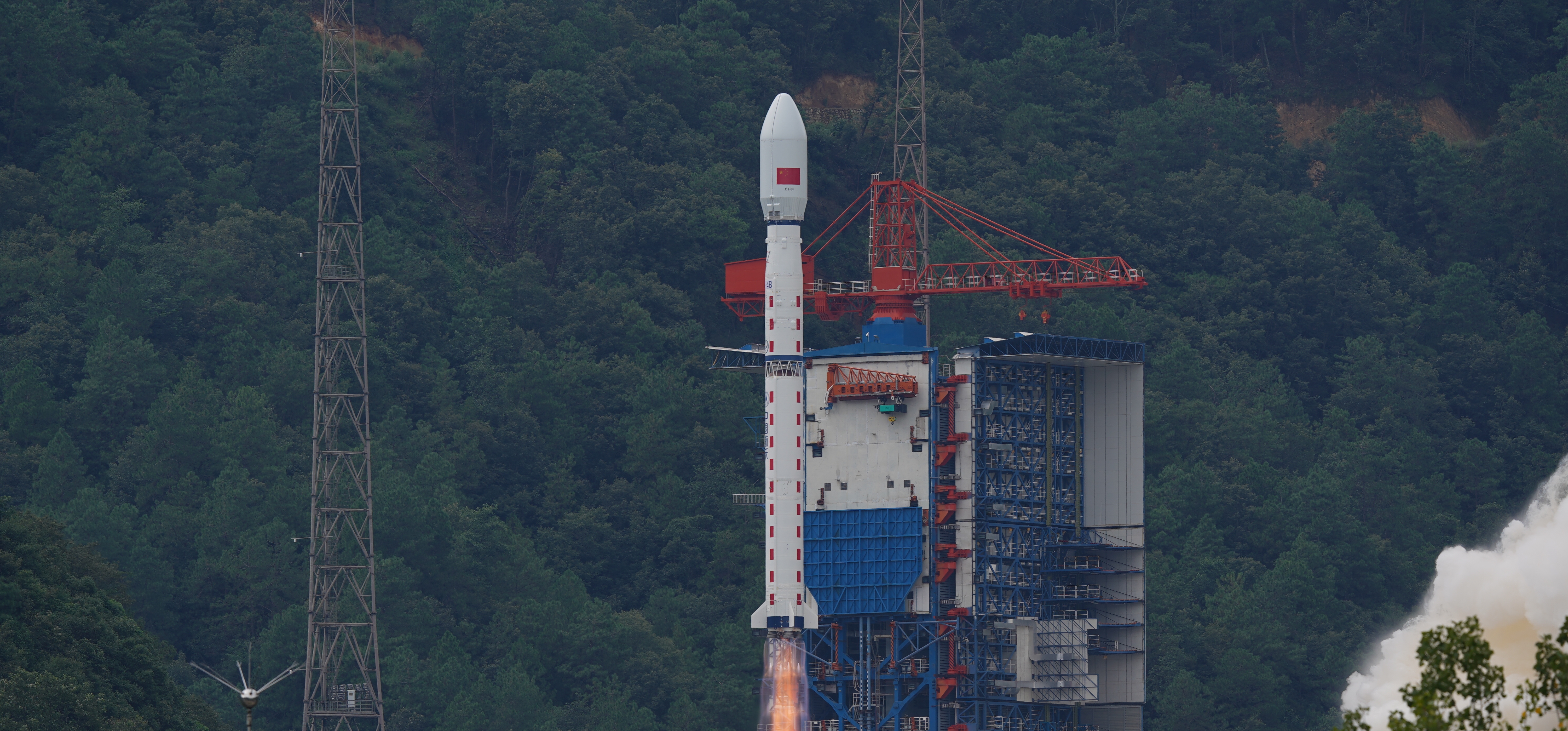
任务简介
注:运载火箭和有效载荷不确定。 陆地生态系统碳监测卫星(TECIS)旨在评估森林生物量、测量大气气溶胶含量并探测光合荧光。这些测量将有助于应对全球变暖的努力。 该卫星搭载4台仪器:多波束激光雷达、定向多光谱相机、定向偏振相机和叶绿素荧光高光谱监测仪(SIFIS)。 卫星将在高度506公里、当地时间上午10:30降交点通过的太阳同步轨道上运行,设计寿命为8年。
任务信息
- 执行机构
- 中国航天科技集团 (CASC)
- 火箭
- 长征四号乙 (CZ-4B)
- 发射场地
- 中国 山西太原卫星发射中心
- 发射工位
- 9 号发射工位 (LC-9) · 中国
- 目标轨道
- 太阳同步轨道 (SSO)
- 任务类型
- 地球科学
- 时间精度
- 精度未提供
- 更新时间
直播与任务视频
暂无直播或视频链接。
任务更新
2 条更新
火箭资料
长征四号乙 (CZ-4B)
长征四号乙火箭(英文:Long March 4B,又称Chang Zheng 4B、CZ-4B和LM-4B)是中国的一种轨道运载火箭。该火箭从太原卫星发射中心1号发射工位发射,为三级火箭,主要用于将卫星送入低地球轨道和太阳同步轨道。
- 制造机构
- 中国航天科技集团 (CASC)
- 箭体长度
- 44.1 米
- 箭体直径
- 3.35 米
- 起飞质量
- 249 吨
- 近地轨道运力
- 4200 千克
- 地球同步转移轨道运力
- 1500 千克
- 重复使用
- 不可复用
- 来源累计发射
- 58 次
- 来源成功次数
- 57 次
- 来源失利次数
- 1 次