Daichi
日本宇宙航空研究开发机构 (JAXA) · H-IIA 2022 · 吉信发射综合体 LP-1
任务简介
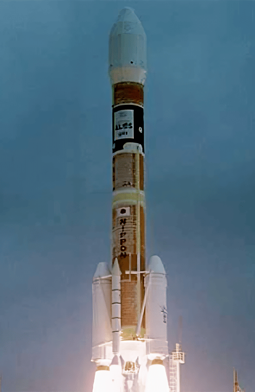
ALOS(先进陆地观测卫星)用于制图、区域观测、灾害监测和资源调查。 ALOS 搭载了三台遥感仪器: - 用于数字高程测绘的立体测绘全色遥感仪(PRISM),分辨率 2.5 米; - 用于精确土地覆盖观测的先进可见光和近红外辐射计 2 型(AVNIR-2),分辨率 10 米; - 用于昼夜和全天候陆地观测的相控阵 L 波段合成孔径雷达(PALSAR)。 ALOS 通过 DRTS(Kodama)卫星传输数据。 ALOS 由 H-2A-2022 运载火箭从种子岛航天中心发射升空。ALOS 被赋予昵称“大地”。 航天器分离五分钟后,ALOS 开始展开其 72 英尺长的太阳能电池板,该电池板将在整个任务期间为航天器提供电力。星上搭载了六台摄像机,用于目视验证太阳能电池板和各种仪器天线的正确展开。 ALOS 于 2011 年 4 月 22 日完全失去电力,任务就此结束。
原文
ALOS (Advanced Land Observation Satellite) is used for cartography, regional observation, disaster monitoring, and resource surveying. ALOS has three remote-sensing instruments: - the Panchromatic Remote-sensing Instrument for Stereo Mapping (PRISM) for digital elevation mapping with 2.5 meter resolution, - the Advanced Visible and Near Infrared Radiometer type 2 (AVNIR-2) for precise land coverage observation with 10 meter resolution, and - the Phased Array type L-band Synthetic Aperture Radar (PALSAR) for day-and-night and all-weather land observation. ALOS transmitts its data via the DRTS (Kodama) satellite. The ALOS was launched by an H-2A-2022 launch vehicle from the Tanegashima Space Center. ALOS as been given the nickname Daichi. Five minutes after spacecraft separation, ALOS began to unfurl its 72-foot solar array that will provide electrical power to the craft throughout its mission. Six cameras are on-board to visually verify the correct deployment of the solar panel and various instrument antennas. ALOS lost all power on 22. April 2011, thus ending the mission.
飞行时间线 Flight Timeline0 节点
尚未公开时间线。
任务更新0 条
暂无任务更新。