
成功
Ziyuan-3-04
中国航天科技集团 (CASC) · 长征四号乙 (CZ-4B)
- 计划时间
- 发射窗口
- 至 至 UTC
任务简介
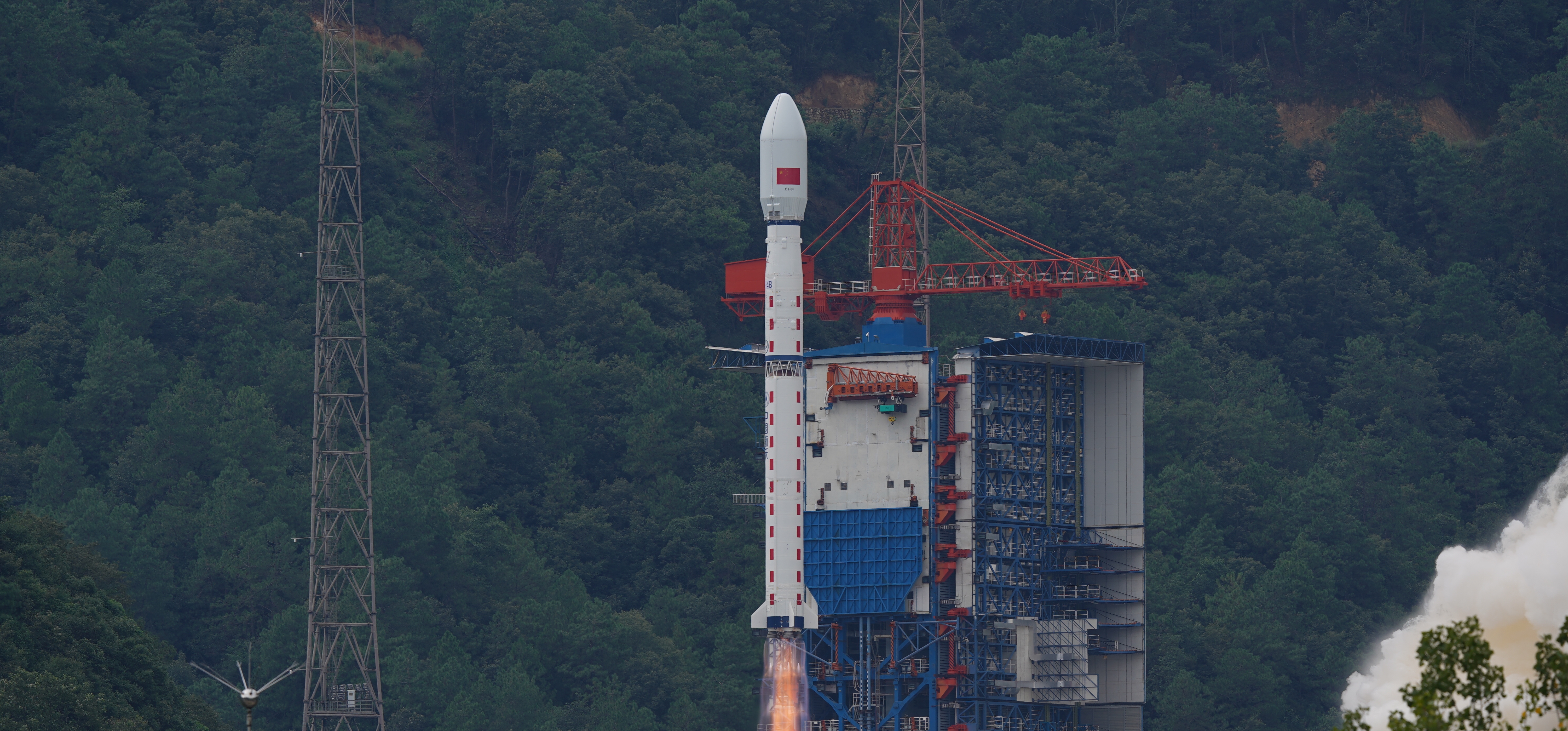
ZY-3(资源三号)系列是中国首个用于民用领域的高分辨率立体测绘卫星。 第二颗卫星由卫星测绘应用中心(SASMAC)管理。 成像有效载荷包括一个三线阵相机和一个多光谱成像仪。 用于获取立体影像的三线阵全色相机由三台望远镜相机组成,其中一台指向天底方向,另外两台分别沿飞行方向前后倾斜22°。ZY-3的立体测绘相机天底方向分辨率为2.1米,倾斜相机分辨率为2.6米,幅宽为51公里。 用于环境和植被监测的多光谱成像仪由三镜望远镜和冷却探测器系统组成,对四个波段敏感,可获取全色影像及近红外数据。该系统的地面分辨率为5.8米。
任务信息
- 执行机构
- 中国航天科技集团 (CASC)
- 火箭
- 长征四号乙 (CZ-4B)
- 发射场地
- 中国 山西太原卫星发射中心
- 发射工位
- 9 号发射工位 (LC-9) · 中国
- 目标轨道
- 太阳同步轨道 (SSO)
- 任务类型
- 地球科学
- 时间精度
- 精确到分钟
- 更新时间
直播与任务视频
暂无直播或视频链接。
任务更新
2 条更新
火箭资料
长征四号乙 (CZ-4B)
长征四号乙火箭(英文:Long March 4B,又称Chang Zheng 4B、CZ-4B和LM-4B)是中国的一种轨道运载火箭。该火箭从太原卫星发射中心1号发射工位发射,为三级火箭,主要用于将卫星送入低地球轨道和太阳同步轨道。
- 制造机构
- 中国航天科技集团 (CASC)
- 箭体长度
- 44.1 米
- 箭体直径
- 3.35 米
- 起飞质量
- 249 吨
- 近地轨道运力
- 4200 千克
- 地球同步转移轨道运力
- 1500 千克
- 重复使用
- 不可复用
- 来源累计发射
- 58 次
- 来源成功次数
- 57 次
- 来源失利次数
- 1 次